St. Cloud’s east-side and northwest areas feature in the new Opportunity Zone round. Minnesota’s final map sets the stage for qualifying 2027 investment.
ST. CLOUD, Minn. — Parts of St. Cloud are entering the next round of the federal Opportunity Zone program, opening a new channel for qualifying long-term investment in the city’s east side and far northwest starting January 1, 2027.
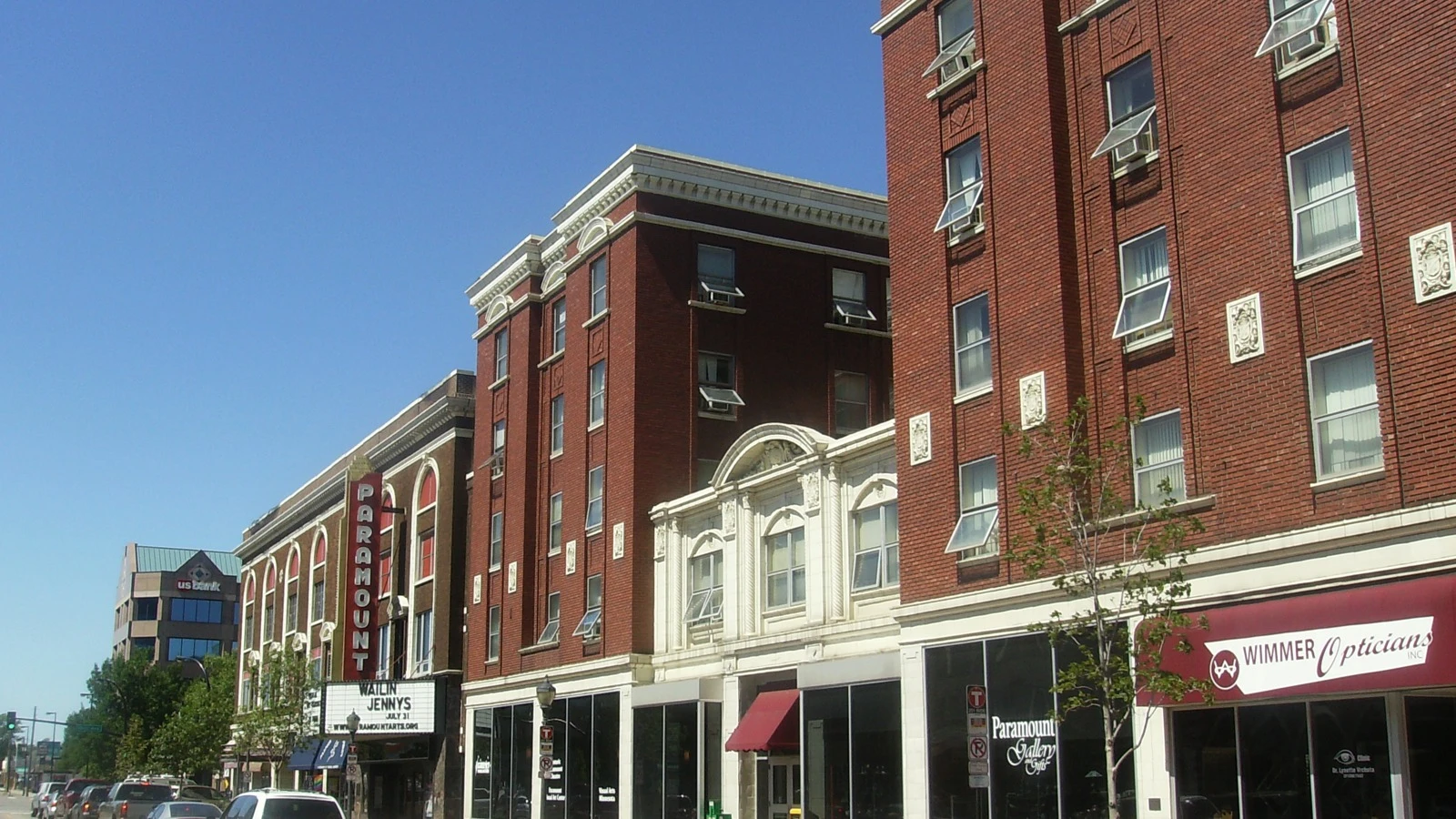
Lead photo: Saint Germain Street and the Paramount Theatre in downtown St. Cloud, August 2008. Archival city-context photograph; the pictured properties have not been verified as members of the new zones. Credit: JamesThomasHofmann / Wikimedia Commons, CC BY 3.0; cropped and resized.
Jake Judd reported the local designations for KNSI on November 8. Minnesota’s Department of Employment and Economic Development, or DEED, has published a map and spreadsheet of all 73 state designations. The effective date is confirmed in Treasury’s November 5 final-list announcement.
The settled federal map gives developers, businesses and investors a starting point for testing potential projects. For local officials, the next task is connecting that investment incentive with viable development.
Local priorities shaped Minnesota’s selections
DEED says Governor Tim Walz submitted 73 nominations on October 26. DEED reports Treasury accepted Minnesota’s selections October 29; Treasury’s national final-list announcement followed November 5. The designations take effect January 1, 2027.
The department sought priorities from counties, cities of the first class and tribal governments. Thirty-five counties, four cities of the first class and two tribal governments submitted input, according to DEED. The four first-class cities in that process were Minneapolis, St. Paul, Rochester and Duluth.
DEED says almost every local government that submitted input had its first preference nominated. Beyond that, most counties received approximately a quarter of their eligible tracts, with differences attributable to rounding. Final choices were made by the governor.
That is useful context for the new map: federal rules created an eligible pool, but local preferences helped shape which places Minnesota advanced.
A new map, not a reset of every development question
St. Cloud has marketed Opportunity Zone investment before. The city Economic Development Authority’s existing Opportunity Zones page discusses east-side commercial and industrial opportunities, transportation corridors and the airport business park, as well as downtown redevelopment sites.
That page describes the earlier program and still uses Minnesota’s 128-zone count. It should be read as historical development context, not as the new 2027 map or current tax guidance. The new state total is 73, confirmed by both DEED’s spreadsheet and the federal final file.
The older material nevertheless shows the economic-development work that an incentive is expected to complement: identifying sites, connecting development with infrastructure, and finding uses that can support a viable project. A federal tax designation does not eliminate those practical requirements.
Rural benefits need a separate geographic check
Our review of the newly downloaded CDFI Fund final workbook counts 29 Rural tracts among Minnesota’s 73 designations. The remaining 44 are Non-Rural. Those are statewide counts, not a count of St. Cloud’s zones.
Treasury says the renewed program includes enhanced incentives for eligible rural communities. A Minnesota location does not automatically qualify for that treatment, and a citywide news story cannot determine the classification of a specific investment. The tract and the investment structure both matter.
The next reporting test is concrete: which projects obtain financing, what they will build or operate, and when work begins.
St. Cloud’s opportunity is now easier to define geographically. Whether it becomes new housing, productive business space or lasting employment depends on the decisions that follow the map.
Related. Minnesota’s designated Opportunity Zones · National final-list coverage · Opportunity Zone tax-benefit guide
Reporting note: Statewide totals were independently counted in the federal final workbook and compared with DEED’s published list. Local area descriptions are attributed to KNSI. The city’s older development page is historical context, not the current map or tax guidance. Broad east-side and northwest descriptions do not establish individual-property eligibility; use the official tract map. The reviewed sources identify no new St. Cloud capital commitment or jobs attributable to this round. DEED’s October 29 acceptance date is its own account of Treasury action, distinct from the November 5 national announcement. No on-site reporting or independently conducted interviews. Educational reporting, not tax, legal or investment advice.
- home.treasury.gov, as of November 9, 2026
- cdfifund.gov, as of November 9, 2026
- knsiradio.com, as of November 9, 2026
- mn.gov, as of November 9, 2026
- developstcloud.com, as of November 9, 2026
- opportunityzoneinvest.com (1), as of November 9, 2026
- opportunityzoneinvest.com (2), as of November 9, 2026
- opportunityzoneinvest.com (3), as of November 9, 2026
Original reporting by the Opportunity Zone Invest Editorial Team for Opportunity Zone Invest, an independent OZ 2.0 research site. Facts are drawn from the primary sources cited above per our editorial standards. Nothing here is tax, legal, or investment advice. Found an error? See our corrections policy or write to Opportunity Zone Invest.
OZ tools: Opportunity Zone calculator · OZ 2.0 likelihood checker · 180-day rule calculator · Form 8997 instructions · Form 8996 instructions · all tools
Get OZ 2.0 updates
OZ 2.0 news, guidance, and key deadlines. Unsubscribe anytime.